
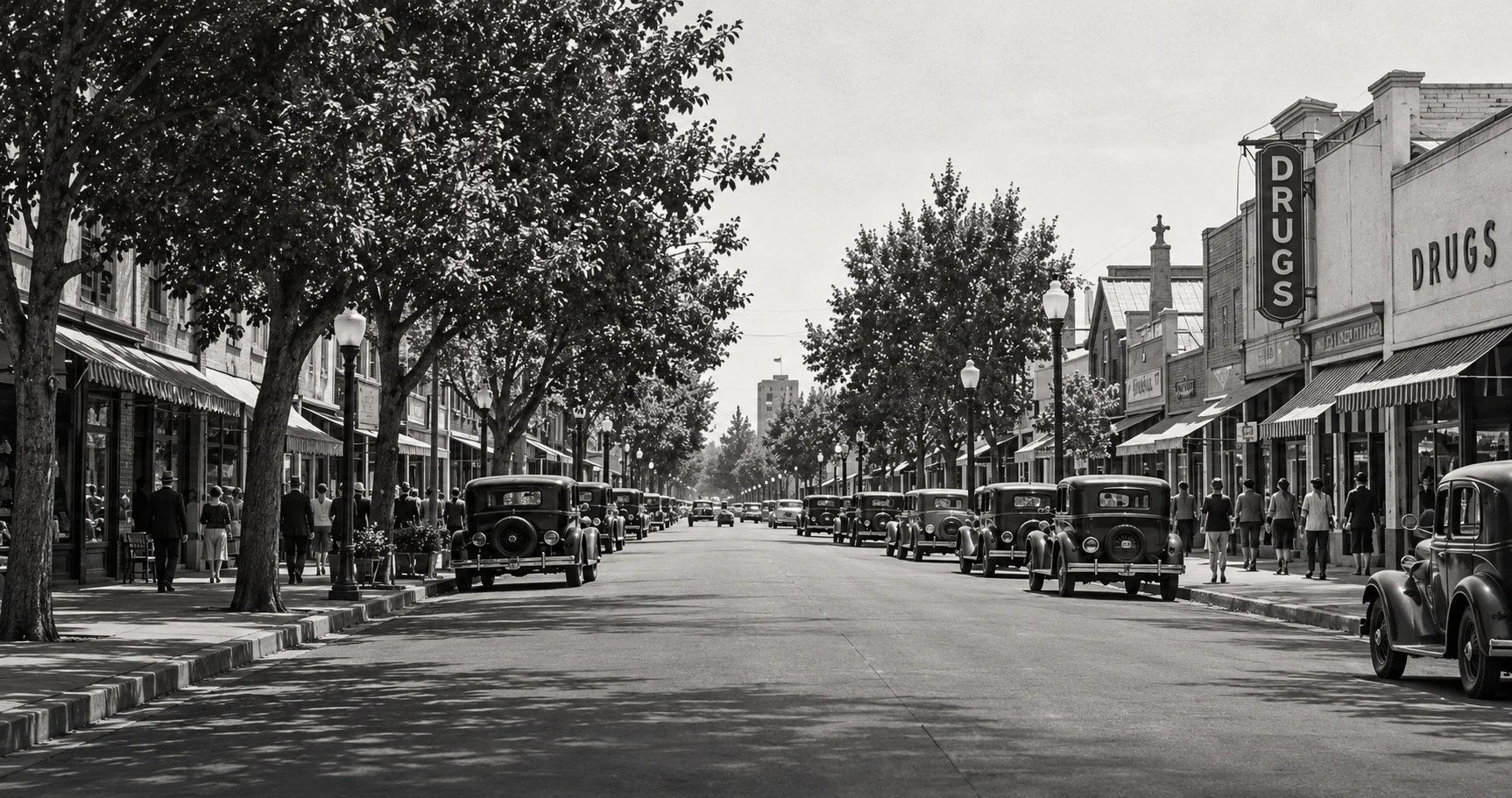
Murphy Avenue rewards a slower look. A storefront can suggest one period, an upper window another, and the street’s present use a much more recent decision. Exploring Murphy Avenue then and now means reading those layers together, rather than imagining that downtown belongs to a single moment in history.
The most useful comparison begins with a specific place. Choose one block, one building, or one view toward the railroad. Then ask what the available evidence shows about movement, business, and gathering. Downtown becomes easier to understand when its history is connected with the everyday activities that made it useful.
From Main Street to Murphy Avenue
The Heritage Park Museum’s archived Historic Downtown Sunnyvale exhibition describes Main Street, now Murphy Avenue, as a dirt road leading to the railroad stop in the 1860s settlement known as Murphy’s Station. Its account places ordinary services, including a post office and general store, within the emerging downtown.
That relationship between a street and a transportation point offers a useful starting question: how did people arriving, leaving, or collecting goods shape the services around them? Instead of treating the railroad as background scenery, consider it part of the commercial geography.
The connection remains visible in the proximity of downtown to rail service. Caltrain’s Sunnyvale destination guide identifies Murphy Avenue as directly accessible from the station. Consult current transit information for a visit rather than attaching today’s schedules to a historical account.
Look Above the Shopfronts
The museum’s overview of Sunnyvale architecture identifies the buildings along the 100 block of South Murphy Avenue as dating from 1900 to 1940. That range matters: even a compact historic district can reflect several phases of construction.
Appearance Is a Starting Point, Not a Construction Date
Window shapes, rooflines, and decorative details can suggest questions about a building. They cannot establish an exact construction year by themselves. Renovations may alter an older structure, while newer work may imitate an earlier style. Compare visual impressions with photographs and property documentation.
What Historical Maps Add to the View

A streetscape photograph shows what a camera could see from one location. A map can supply a different perspective on the arrangement of a block. The Library of Congress holds Sunnyvale Sanborn map sets from October 1911 and January 1930, offering two dated resources for investigating the town’s development.
Begin with the index and locate the relevant sheet. Compare the block’s shape, street names, and building footprints before drawing conclusions about a specific property. The Library’s guide to interpreting Sanborn maps explains their symbols and their original insurance purpose.
A useful comparison distinguishes three questions: did a building exist, how was it represented on the map, and what do other records say happened there? The answers may come from different sources. A mapped footprint alone is not a complete business history.
Follow a Business Without Assuming It Stayed Put
A familiar name may appear at different addresses over time. Conversely, one address may have served several businesses. Record both the name and location for each dated source. This helps avoid merging separate buildings into one story or mistaking a tenant change for new construction.
Our article What Old Newspaper Ads Reveal explains how advertisements can add addresses, opening announcements, and descriptions of services to the map-based picture.
A Street Reoriented Toward People
The recent history of Murphy Avenue is also a history of changing street use. The City’s Downtown Sunnyvale Development page records that the 100 block of South Murphy Avenue temporarily closed to vehicles in June 2020 to support outdoor dining during the pandemic.
In May 2023, the City Council adopted an ordinance to convert that block into a pedestrian mall. The City identifies the affected stretch as between West Washington and West Evelyn avenues. Its project record separates that decision from subsequent design and construction work, a distinction worth preserving when describing the change.
Compare Today’s Street With the Earlier View

A pedestrian-focused street changes the questions a present-day photograph can answer. Look for how people move between entrances, where tables occupy space, and which sightlines remain open. Compare those observations with an earlier photograph without assuming that either arrangement represents the street’s permanent or original character.
For construction status and current access arrangements, return to the City’s project updates. An adopted design is not the same thing as a completed project, and a rendering is not a photograph of existing conditions.
Make a Then-and-Now Comparison That Explains Something
Choose an archival photograph with an identifiable location and a reliable date or date range. Keep the catalog description and credit information. Then locate a safe, publicly accessible position for a contemporary photograph with a similar direction and framing.
Start by comparing fixed features: corners, major openings, rooflines, and the relationship between the street and neighboring blocks. Only then compare changeable details such as signs, parked vehicles, trees, or outdoor furniture. A different season or camera angle can make an unchanged scene appear more different than it is.
Write the comparison caption around an actual finding. Explain which building or corner aligns across the images and identify the difference you can support. Keep the original image proportions when possible; stretching a photograph to fit a layout can distort the very architectural details you are comparing.
Do not recreate a supposedly historical view with invented buildings or signage and present it as evidence. For an authentic comparison, both images need a clear explanation of where they came from. When a date is uncertain, retain that uncertainty in the caption.
Include the Downtown Beyond One Photograph
Murphy Avenue is a useful entry point, not the whole of downtown. Our article on Joshua Hendy Iron Works and Sunnyvale’s working life provides another perspective on the relationships among employment, transportation, and community.
A Familiar Street With More Than One Story
The reward of looking closely is not simply identifying what survived. It is understanding how a street remained useful as businesses, transportation, and public expectations changed. A shopfront, a map, and a pedestrian space each describe part of that history.
For a first project, choose one view and record three supported observations, plus one unanswered question. That modest exercise can reveal more than a sweeping claim about the entire downtown. Murphy Avenue then and now becomes an investigation you can follow, one recognizable detail at a time.